
Mapping – An essential part of ‘Trench’

Mapping is fundamental and intrinsic to ‘Trench’; its online presence, Database, projects, collections and community. The reason for this, is to tell our Family, Social, Community and Great War Histories in a different manner to which most of us are use to. We are possibly more use to books, letters, reports or reams of paragraphs and text.
We are not just talking about flat hard copy static maps, but in time, an online community led interactive collection of story maps. This will be interlaced with a back drop of Database of all types of media in an organised manner.
A centeralised, behind the scenes, management systems that will enable us to analyse any of the data sets together; either spatial, spatial temporal or attribute data. This can be loosely be described as Geographical Information Systems, (GIS). Systems and Databases that combine/interrogate geographic and attributive data. A GIS has been described as, “A system for capturing, storing, checking, analysing and displaying data which is spatially referenced to the Earth”, (Trench Notes 2). You can help, as a collection of communities, to make this possible.
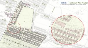
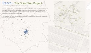
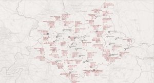
Below, is a gallery of a small collection of digital Maps created by the site founder over the last 7 years. You will see that most have been produces as if they were for hard copy. This is, currently, for presentation purposes. In the very near future, it is hoped, that an online, ‘interactive’ example will be presented.
The images, currently, have no links however, over the next few weeks, we will start to examine them, (A list can be found below). The first few relate to the founders personal project/interest that is hoped to be rolled out and shared to the community; especially Leicester and its County. Family history workshops with a hint of Leicesters Territorial Army men of 1914 are being looked into for the Autumn of 2024.

List of current mapping projects :
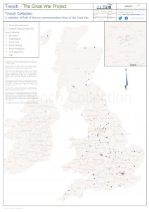
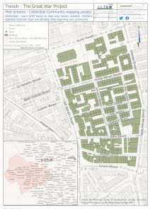
- Trench Collection
- British United Shoe Machinery, Leicester – Map Leicester 2500
- Leicestershire Newspaper Index – Map Leicester 2500
- CWGC – Sites and Casualty quantities in Leicestershire
- Sample of Weekly Casualty Lists 11000 Leicestershire records # 1
- Sample of Weekly Casualty Lists 11000 Leicestershire records # 2
- Soldiers Died in the Great War, HMSO, specifically 4th Battalion Leicestershire Regiment
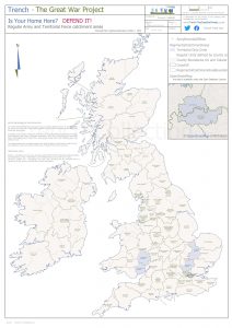
- Is Your Home Here – Defend it Army Catchment Areas / Army recruitment poster 1914
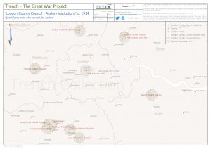
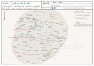
- London County Council – Asylums 1914
- London County Council Asylums Epsom 1914
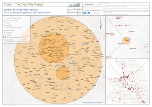
- London & North West Railway Roll of Honour
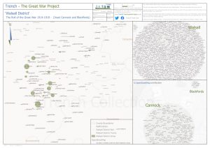
- Walsall District Roll of the Great War 1914-18
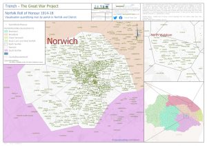
- Norfolk Roll of Honour 1914-18
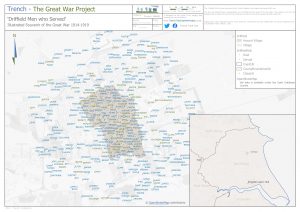
- Driffield men who served 1914-18
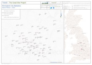
- Birmingham City Battalions – Book of Honour 1919
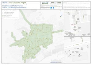
- Great Harwood Roll of Honour 1915
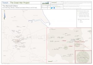
- The Blackwell Colliery Alfreton and Sutton Mines – a Roll of Men
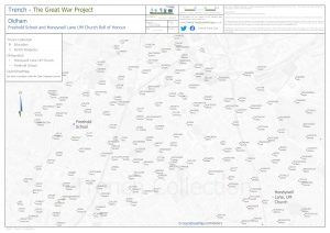
- Oldham Rolls – Freehold School and Honeywell Lane Church
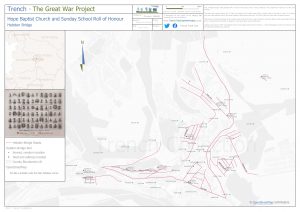
- Hope Baptist Church – Hebden Bridge
Digital Mapping project
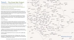
Map Leicester 2500 – original 1,000 men of Leicester 4th (Territorial) Battalion Leicestershire Regiment from mobalisation to Hohenzollern Redoubt 13.10.1915
Mapping where the original men of the 4th Battalion Leicestershire Regiment lived, worked, schooled and faith. following each and the Battalion itself from mobalisation to disembarkation at Le Harve, France, 2.3.1915 their first experiences, the summer of 1915 in the Ypres Salient to their first ‘Over the Top’ experience at the Hohenzollern Redoubt on 13.10.1915 Reviewing the casualty rate of the Battalion on that date.
Records used – not a complete list
- Census Records – 1901 / 1911 / 1921
- Military Records – Medal Rolls, Service Records, Battalion War Diaries
- Newspaper Records
- Business and trade directories (where allowable)
- Official Records – Order of Battle, Soldiers Died, Military Operations, Weekly Casualty Lists, etc.
- Historical Maps – Ordnance Survey, et al…
Using software – experience, not a problem
- QGIS – open source freely available mapping / GIS system
- FindmyPast – for some records (3months at cost c. £36) third party software not associated with Trench
Please check back soon for updates on the image shown above…